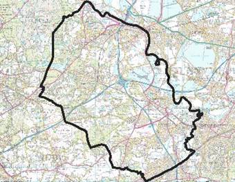
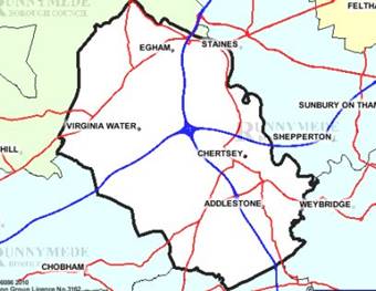
Location, Map & View
![]()
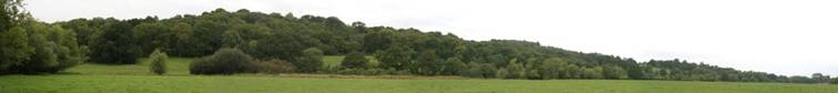
The name
describing a place in the meadows used to hold regular
meetings. The Witan, Witenagemot
or Council of the
Anglo-Saxon Kings of the 7th to 11th centuries was held
from time to time at
The Council met usually in the open air. This political organ
was transformed in succeeding years,
influencing the creation of
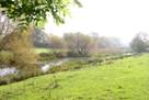
The water-meadow at
The charter indicates
political representation also affecting the development of
parliament.
limitation of power, equality and freedom under law has
attracted placement there of monuments and commemorative symbols.
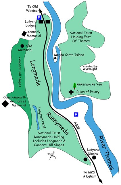
![]()
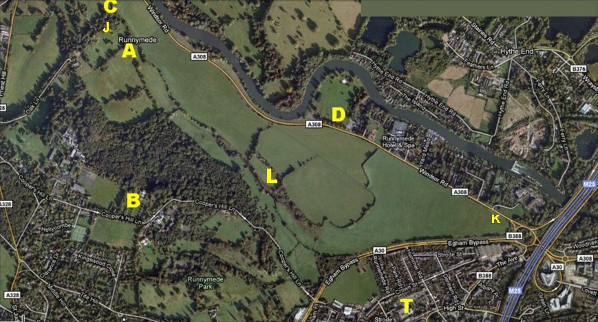
A: Magna
Carta Memorial B: Air
Forces Memorial C: Magna
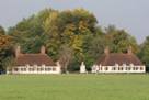
Carta Tea Rooms & Galleries
D:
L: Langham
Ponds T:
![]()
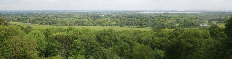
The view
from the Air Forces Memorial (Coopers Hill overlooking the Magna Carta
Memorial) across Runnymede Meadows
towards
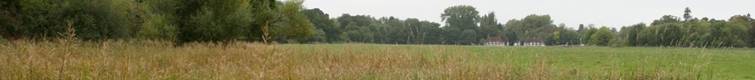
The
Runnymede Meadow extends southwards to the A30 Egham Bypass and comprises some
188 acres in area.
It was
given to the National Trust in 1931 by Lady Fairhaven. The meadows were used as
a site for the
Egham
Racecourse from 1734-1884 when racing was moved to
invading
the Egham meetings. Beyond the Meadow is
Cooper’s Hill Woods – 110 acres in area,
which was
given to the National Trust in 1964 by Egham Urban District Council.
RUNNYMEDE INTERACTIVE MAPPING SERVICES - “rCOMMUNITY”
![]()
![]()
![]()
![]()
![]()
![]()
![]()
![]()
![]()
![]()
![]()
Photos by
![]()